
Port Chester Neighbors by Block
The most reliable block search keeps the sources separate. The County map supplies parcel shape and adjacency. The Town of Rye assessment source supplies an owner-of-record and tax fields. Accela supplies dated local permit and land-use records. A voter route is governed by election rules and cannot be treated as a casual block roster. Each source can narrow a question about Port Chester neighbors, but none should be used as proof that every person connected to a home is a present occupant.
| Source | What It Shows About a Block | Access |
|---|---|---|
| Westchester County GIS and ArcGIS layer | Parcel boundaries, SBL, property address, parcel class, owner fields, geometry, and adjacent parcels | Public viewer and public REST layer; map lines are approximate. |
| Town of Rye Image Mate | Assessment and tax-map fields, owner name, mailing address, property location, and dated roll information | Public property search for Port Chester assessments. |
| Port Chester Accela | Address- and parcel-keyed permit or land-use records | No-login search; project details and file actions need an account. |
| Board of Elections route | Individual registration lookup and statutory election-district list process | State lookup or Board request, subject to protected and confidential records. |
| Community organizations | Local projects, services, events, and organization contacts | Public organization pages, not an official household roster. |
A County GIS result is especially useful for defining the immediate physical block. It does not turn an owner mailing address into evidence of occupancy. For a full named-street record chain, use the Port Chester Street Directory after the adjacent parcels have been identified.
Port Chester Parcel Polygons
The Port Chester ArcGIS parcel layer is the repeatable starting point for nearby parcels. It exposes MUNNAME, SWIS, SBL, print key, property address and unit, property city and ZIP, owner fields, property class, and a polygon for each parcel. The service supports advanced queries, statistics, ordering, pagination, SQL expressions, distance queries, and JSON, GeoJSON, or PBF output. Its maximum record count and selection are 2,000.
Filter first to Port Chester with MUNNAME, then locate the property address or SBL. The GIS tax-map viewer also has municipality selection, map-key and print tools, query-result export, and an abutter mailing-label function. That function can help define a parcel buffer, but it may include mail recipients outside the block and says nothing about who occupies a property.
Note: County parcel lines are approximate and not a legal survey; approved authoritative maps remain with the local assessor.
Tracing Adjacent Port Chester Neighbors
Work outward from one parcel, not from a broad radius. A neighbor in this method is a parcel that touches the anchor polygon. Corner lots, rear lots, and separately mapped units need their own check because they can be nearby without sharing an edge. Record the map date and distinguish edge-touching parcels from parcels that are merely close. This makes the result reproducible and prevents a block search from becoming a claim about everyone in sight.
- Find the exact street address or section-block-lot in the County viewer or ArcGIS layer.
- Confirm the anchor parcel's property address, SBL, print key, and polygon.
- Select only the polygons that touch the anchor boundary, then record each adjacent SBL and property address.
- Check each selected parcel in Town of Rye Image Mate for the dated owner, property class, and assessment fields.
- Use Port Chester Accela when a dated local record is needed for the same address or parcel.
The process is address to parcel to touching polygons to dated property fields. Recorded owner data and mailing information remain separate from present household information. That distinction is the core accuracy rule for Port Chester neighbors research.
Port Chester Situs and Owner Fields
A parcel record may carry several address strings. PROPADDRESS, PROPCITY, and PROPZIP describe the situs, or location of the parcel. OWNERADDRESS, OWNERCITY, OWNERSTATE, and OWNERZIP describe where assessment correspondence is sent. Image Mate likewise separates property location and current owner address. A mailing value can be outside Port Chester, associated with a representative, or simply be a separate correspondence address.
| Field group | Careful reading for neighbor research |
|---|---|
| Property or situs fields | Identify the mapped parcel and its Port Chester physical location. |
| Owner fields | Identify an owner of record in parcel data at the time of the roll. |
| Mailing fields | Identify assessment correspondence, not a claim about a nearby home. |
| Unit fields | Help separate a unit from the larger parcel when a record includes them. |
Multi-unit addresses, parcels held through entities, and changing owner-mailing arrangements make it especially important not to merge those fields into one identity. A parcel map shows land topology; an assessment roll provides dated tax data; neither is an occupancy roll.
Port Chester Community Connections
No official Port Chester neighborhood-association registry or member directory was located. The available community layer is useful for learning about projects, services, local activity, and points of contact, but it is not evidence that a household belongs to any organization. The Chamber's member directory is a business and community directory, not proof of residence. Treat the groups below as organization resources and contact paths only.
| Organization | Local role described by source | Access |
|---|---|---|
| Council of Community Services | Community projects and networks | Public project information. |
| SPRYE | Nonprofit membership and community network for adults 55+ in Harrison, Port Chester, Rye, and Rye Brook | Public organization information. |
| St. Peter's Episcopal Church | Local ministries and organization listing | Public community listing. |
| Port Chester-Rye Brook-Town of Rye Chamber | Regional member directory, resources, events, and contacts | Business and community directory, not a household list. |
The Council of Community Services project directory is captured below as a Port Chester community source.
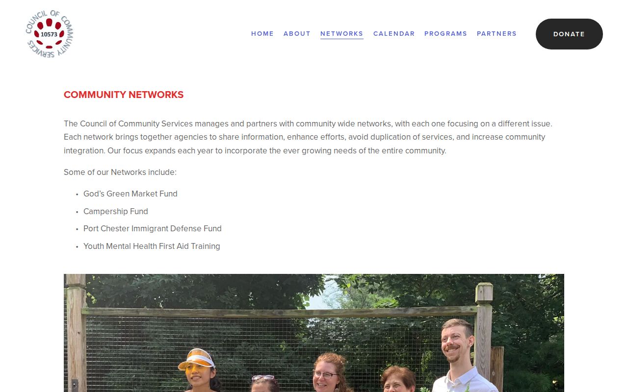
Project information can help a resident find local services or public activity without turning an organization page into a list of nearby households.
The SPRYE community network description is another regional organization source.
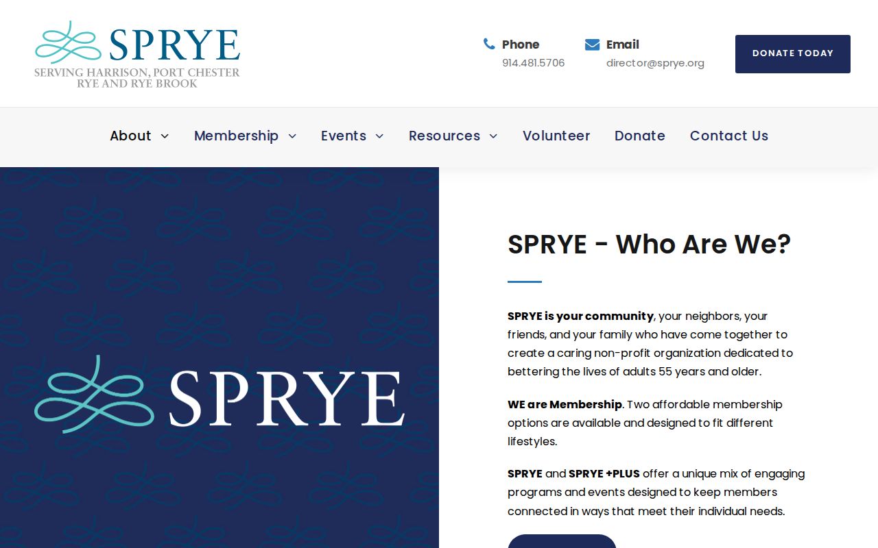
SPRYE spans several communities, so a listing there should not be treated as a Port Chester address or membership record for any individual.
The St. Peter's Episcopal Church community listing provides a third local organization lead.
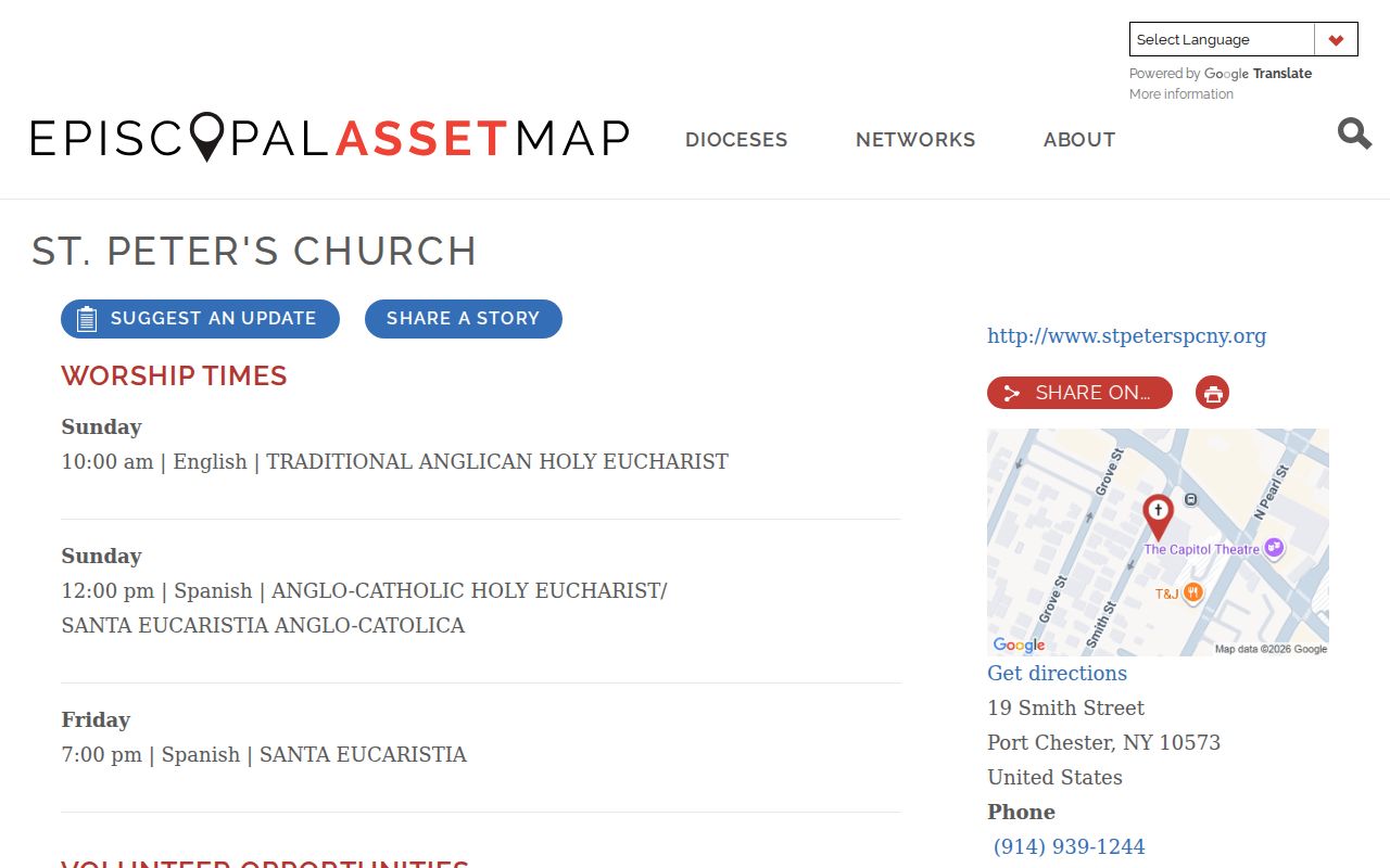
A congregation's public listing describes community activity and ministries. It is not an official roster for a block or a source for private member information.
Voter Records Near Port Chester Blocks
New York Election Law §5-602 contemplates an annual election-district list arranged by street and number or alphabetically, with new and inactive voters indicated. That does not create a public online mode for listing every person near an address. The NYS Voter Registration Search is an individual lookup that uses county, name, date of birth, ZIP, and address information where prompted. It is designed for registration status, polling place, and mail-ballot information.
A voter-data request routes through the Board of Elections and needs the statutory election-purpose statement. Election Law §3-220 makes registration records open for inspection but protects driver-license, non-driver identification, Social Security, and facsimile data. Confidential registrations are not ordinary address evidence. Verify the Westchester Board of Elections contact before mailing because official Port Chester information includes an older address while a municipal update reported a 2025 relocation.
Official and Commercial Neighbor Tools
Official sources and commercial neighbor tools answer different questions. The official route identifies the custodian, record date, parcel key, and access limits. Commercial tools may combine public and commercial inputs, often with unclear source dates or correction paths. A useful comparison starts with the official record and leaves a claimed match unconfirmed until the relevant custodian can verify it.
| Tool category | Best use | Limit |
|---|---|---|
| Official parcel, assessor, and permit records | Locate a parcel, dated owner-of-record field, SBL, map geometry, or local record. | Does not identify every current household member. |
| Election records | Check an identified voter's registration through the statutory route. | Protected fields and confidential registrations remain excluded. |
| Commercial neighbor tools | May offer a broad lead for later verification. | Accuracy, source date, and correction route can be unclear; do not treat output as an official record. |
For an historic address, archives, directories, newspapers, and maps can supply dated context. For an immediate block, the parcel boundary and record custodian are the more useful starting point.
Port Chester's Changing Place Labels
Location labels can shift across older Port Chester records. The historic trail includes Town of Rye boundaries in 1788, the Saw Pit name before the 1837 change to Port Chester, and Village incorporation in 1868. Directories can also use combined labels such as Port Chester and Rye, East Port Chester, Byram, Greenwich, or Cos Cob. Those labels are useful search terms for a past parcel or block, not proof that the modern Village boundary or postal ZIP was the same.
When a historic number does not align with a current address, compare an old directory or map with the current SBL and deed legal description. No official Port Chester street-renumbering or renaming schedule was located. Keeping the conflict documented is better than assigning a present block connection without a source.
Privacy Limits for Port Chester Neighbors
Public access does not erase privacy. A parcel owner is not automatically a resident. Court, vital, and voter records can be sealed, restricted, dated, or protected. The New York Address Confidentiality Program supplies a substitute address and mail-forwarding route for eligible applicants, while confidential voter registration protects eligible voter information. A missing public result should never trigger an attempt to reconstruct a protected address from other sources.
Ask the custodian about a correction when an official record is wrong. Record dates, source limits, and parcel identifiers give a neighbor lookup more value than a broad list of unverified names.