
Port Chester ZIP Code Coverage
Port Chester has one primary verified mailing ZIP: 10573. It is the standard Port Chester postal ZIP, but its postal territory also reaches nearby Rye Brook and other surrounding territory. That makes a five-digit result useful for delivery and search filtering, but not proof that an address sits inside the Village. The nearby City of Rye uses 10580. It belongs in a comparison search, not in a list of Village ZIPs. No additional ZIP serving the Village was verified in the inspected official sources, so an edge address should be checked by its full street address rather than by a generalized ZIP database.
| ZIP | Areas Covered | Post Office | Notes |
|---|---|---|---|
| 10573 | Port Chester mailing addresses, plus nearby Rye Brook and other surrounding postal territory | Port Chester postal place | Primary Village ZIP, but delivery coverage extends beyond Village limits. |
| 10580 | Rye mailing addresses | Rye postal place | Neighboring ZIP for the City of Rye, not a second Port Chester Village ZIP. |
| Other ZIPs | No additional Village-serving ZIP verified | Not established by the inspected sources | Use an exact USPS address check for boundary and ZIP+4 questions. |
The USPS ZIP Lookup offers address, city-and-state, and ZIP-to-city routes. Its standardized result does not confirm that a person or business is at the address. For Port Chester, it is the postal check that should happen before a property or public-record search is treated as being inside the Village.
USPS Checks for Port Chester ZIP Codes
Use the street number and street name first. Compare the returned city, state, and ZIP with the address printed in the public record. The postal city is a delivery label, not a finding about municipal jurisdiction. A return of Port Chester and 10573 can include an address outside the Village line, while an adjacent street can fall under Rye and 10580. Preserve ZIP+4 only when a mailing task or source citation needs it, then check it again because delivery details can change.
- ZIP code
- A five-digit USPS delivery geography. It organizes mail delivery and does not set Village boundaries.
- ZIP+4
- The five-digit ZIP plus four added digits that narrow delivery to a segment, building, floor, or other delivery unit.
- PO-box ZIP
- A ZIP assigned for post-office boxes. It identifies a mail service, not a property location.
- Unique ZIP
- A ZIP used for one qualifying organization or large delivery arrangement. No such Port Chester Village ZIP was verified in the research.
- Carrier route
- A USPS delivery sequence used within a ZIP area. It is not a municipal district or a household roster.
The USPS AIS Viewer describes address outputs that can include a five-digit ZIP, ZIP+4, carrier route, county code, delivery point, and check digit.
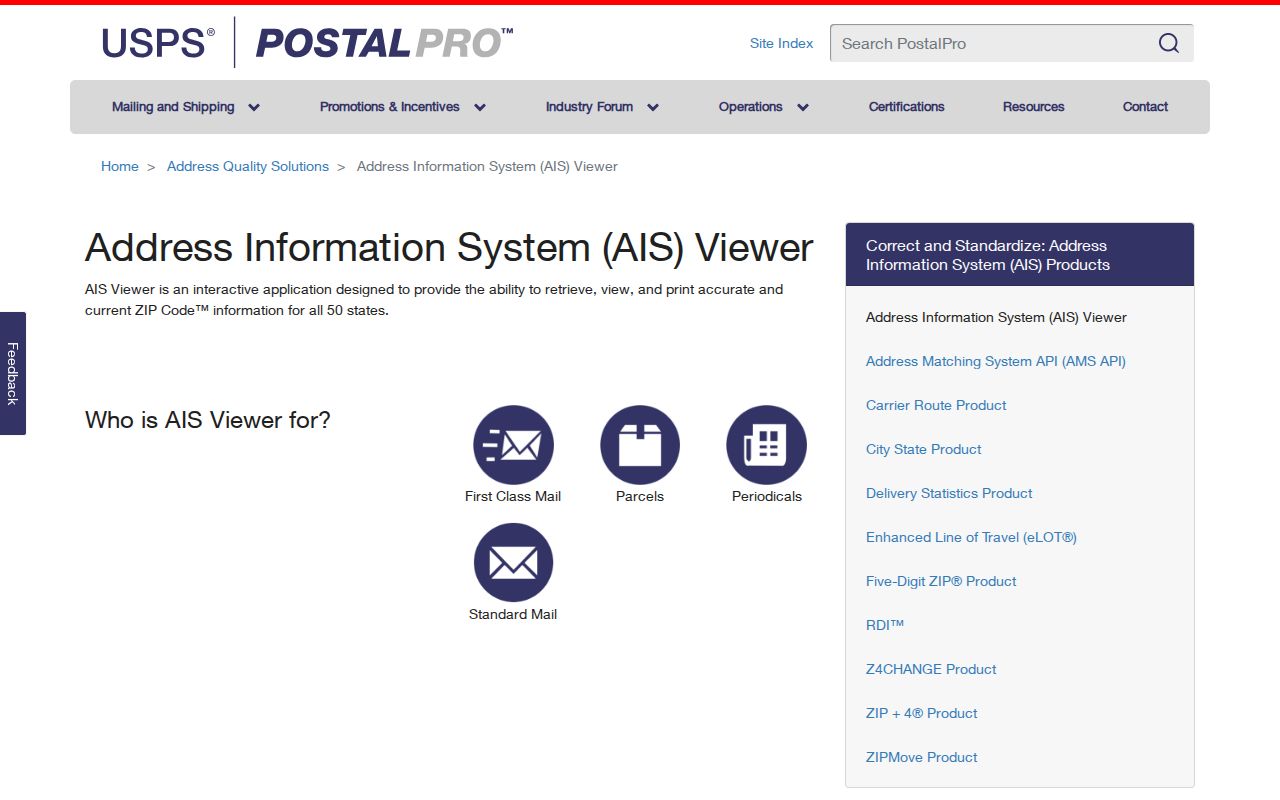
The viewer describes the address-data terms that sit behind a postal result. It is helpful for understanding a ZIP code directory result, while the public ZIP Lookup remains the practical route for checking one complete address.
ZIP Codes in Port Chester Accela
Port Chester's Accela APO Lookup accepts property-oriented searches without a login. Its Address route separates street number, direction, street name, street type, unit type, unit number, city, state, and ZIP fields. The General Search route also has city, state, ZIP, parcel-number, record-number, record-type, date-range, contact, and license fields. Those fields locate permits and land-use records, not a current resident list. Project details, files, payments, and status actions require an account.
| Accela field | ZIP-focused use |
|---|---|
| Street number and street name | Use the exact situs address before adding a ZIP filter. |
| Unit type and unit number | Separate a unit-level address from the larger parcel when those fields apply. |
| City, state, and ZIP | Constrain an address or record search to the postal details in the record. |
| Parcel number | Use a parcel key when an address has changed or is formatted differently. |
| Record type and dates | Limit a general search to the kind and time range of local record needed. |
The Accela property lookup is shown in the captured Port Chester interface below.
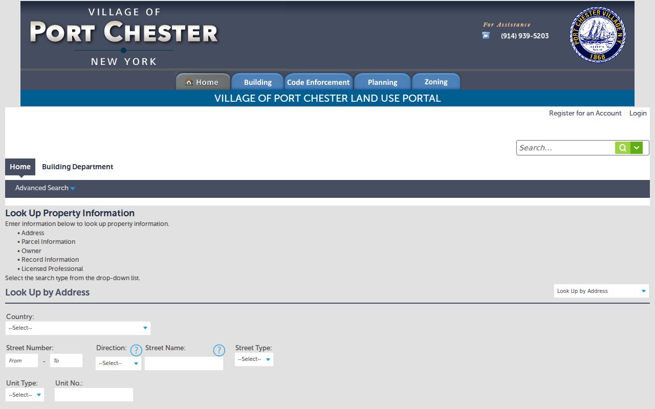
Use the portal's ZIP field as a record filter only after the exact property address is settled. Building records have been digitized in Accela from February 2021 onward; older files remain in scanning and may require a Port Chester FOIL request.
Finding Residents by ZIP Code
A ZIP-focused search works best as a narrowing step, not as a name list. Start with the precise address and decide whether the question concerns a parcel, a local permit, or an identified voter. The Town of Rye assessor maintains Port Chester assessment data through Image Mate. The state voter lookup uses ZIP with county, name, date of birth, and address where prompted. Neither source turns a five-digit ZIP into a list of everyone who lives there.
- Enter the complete street address in USPS ZIP Lookup and retain the returned postal ZIP.
- For a property question, find the parcel in Image Mate or the County parcel map and preserve the address plus section-block-lot identifier.
- Use Accela's site-address, parcel, city, state, and ZIP fields for a dated local permit or land-use record.
- For a known registered voter, use the New York voter lookup with the required identity fields, including county and date of birth.
- Compare the returned record date and custodian before drawing any conclusion from a ZIP match.
Once a result narrows to a particular street, the Port Chester Street Directory follows the address-keyed parcel and record path in more detail. A ZIP cannot replace the parcel key or the legal street address.
Port Chester Parcel ZIP Fields
The Port Chester ArcGIS parcel layer gives a more exact way to separate postal and municipal geography. Filter the parcel layer with MUNNAME for Port Chester and use PROPZIP for the property's postal ZIP. The layer also carries SWIS, section-block-lot, print key, property address, unit, property class, owner name, owner mailing address, and parcel polygon geometry. Its query and export formats include JSON, GeoJSON, and PBF, with a maximum record count and selection of 2,000.
Parcel boundaries in the County viewer are approximate, not a survey. The local assessor holds the authoritative approved tax maps. A polygon is valuable for connecting the address to the right parcel, but it does not establish that a named owner is the present occupant.
Note: Use the municipal field and property ZIP together whenever a 10573 result could include Rye Brook or nearby postal territory.
Port Chester Property and Owner ZIPs
PROPZIP and OWNERZIP answer different questions. PROPZIP identifies the postal ZIP attached to the situs, meaning the location of the parcel. OWNERZIP identifies where assessment correspondence is sent. The Town of Rye change-of-address form also separates property location from the owner's mailing address. An owner can receive mail outside Port Chester, through a representative, or at another address. That does not change the parcel's location or establish who is living there.
The same distinction protects the quality of a ZIP code directory search. A list filtered only by owner mailing ZIP answers a mail-routing question. It does not map the properties within Port Chester.
Earlier Port Chester Place Labels
Historic ZIPs cannot be projected backward onto old directory entries. Older collections may use Port Chester, Port Chester and Rye, East Port Chester, Rye, Byram, Greenwich, or Cos Cob. The area's history also includes the Saw Pit name before the 1837 change to Port Chester, Town of Rye boundaries from 1788, and Village incorporation in 1868. Those labels help locate an older item, but they do not establish a modern postal boundary.
For an older address, compare the directory place label with a map, the current section-block-lot, and a deed legal description. No official Port Chester street-renumbering, ZIP-realignment, or annexation crosswalk was found in the inspected sources. Keeping that gap visible is safer than assigning a present ZIP to a historic address by guesswork.
Port Chester ZIP Code Limits
USPS governs delivery formatting. The Village, Town of Rye assessor, and Westchester parcel systems govern other kinds of location records. The primary Port Chester ZIP code directory result is 10573, while Rye 10580 is nearby and Rye Brook shares part of the 10573 postal territory. No official downloadable crosswalk was found for every Village edge address or every ZIP+4. Exact-address USPS results and municipal parcel fields are therefore the reliable pair for a boundary question.
Keep the three location signals beside one another: the USPS address result, the parcel layer's MUNNAME value, and the PROPZIP value. When they do not align, preserve the conflict and ask the relevant custodian which record controls the specific question. That is more accurate than assuming that a postal city label settles Village jurisdiction.
Public records also have their own limits. The state voter lookup is an individual registration-status tool, not a ZIP export. Permit and parcel records are dated and purpose-specific. If an address is protected through the New York Address Confidentiality Program or confidential voter registration, do not try to reconstruct or publish the protected location. Use public information for lawful personal, civic, or family-history research, never to harass or harm anyone.