
Trace a Port Chester Address
Start with the complete Port Chester street number and name. The goal is to establish a parcel trail first, then collect separate evidence about ownership and past households. The Town of Rye assessment roll is the appropriate local starting point because Port Chester assessments are administered through that office. A recorded deed can then identify a transfer in the chain of title. Election material and printed directories may supply a different, date-specific household signal, but neither turns an owner field into proof of occupancy.
- Enter the Port Chester address in the Town of Rye assessor search and copy the property location, section-block-lot, owner of record, and roll date.
- Confirm the parcel in the assessment record before treating the address as the correct Port Chester property, especially where a unit or a rear lot is involved.
- Use the owner name as a grantee lead in the Westchester deed index, then read the recorded instrument for the prior grantor and legal description.
- For a named person and a current registration question, use the New York voter lookup or request the relevant street-arranged election list through the Board of Elections.
- For earlier Port Chester households, compare a reverse directory or street index with the closest available directory year and then verify the name against another dated source.
Each stop preserves a different fact. The address joins the trail, while the section-block-lot and legal description help keep the Port Chester parcel stable if a name, street form, or lot shape has changed.
Search Port Chester Parcels in Image Mate
Town of Rye Image Mate provides public property information, RPS data, tax maps, and photographic images for Port Chester parcels. Its assessed-property trail is a better first check than guessing from a mailing label. The official roll instructions allow a search by the first part of an address, part of an owner name, or a section-block-lot parcel identifier. Roll results are dated, so a prior edition is useful for history but is not a current status statement.
The assessor separates assessment, taxable value, property class, exemption code, school district, land value, and total. It also displays an owner address separately from the property location. Retain both labels exactly as the Port Chester record uses them. A mailing address can belong to an owner, representative, organization, or prior correspondence destination outside the Village.
| Image Mate field | How to use it | Port Chester caution |
|---|---|---|
| Address or property location | Find the situs parcel by street number and name. | Use the returned spelling and unit detail. |
| Current owner name | Use as a deed-index search lead. | Owner of record is not automatically an occupant. |
| Section-block-lot | Carry this parcel identifier to GIS and deeds. | Copy the local format from a result. |
| Property class and assessment | Describe the parcel and roll value. | Assessment is not a sale price. |
| Owner address | Identify assessment correspondence. | It can differ from the Port Chester situs address. |
Note: The 2021 assessment instructions use a browser-find example, but a dated roll should never be used as a current household list.
Map a Port Chester Street Parcel
The Westchester County municipal tax parcel viewer adds the map layer to an address search. Select the municipality and parcel, then compare the map key or print path with the assessor result. The viewer can export query results and generate mailing labels for abutters, but the County warns that parcel boundaries are approximate. The authoritative approved tax maps remain with the local assessor.
For field-level review, the Port Chester ArcGIS parcel layer exposes MUNNAME, SBL, PRINTKEY, PROPADDRESS, PROPAPT, PROPZIP, OWNERNAME, OWNERADDRESS, OWNERZIP, property class, and parcel geometry. Filter MUNNAME to Port Chester before using a ZIP or street field. The layer can return JSON, GeoJSON, or PBF and has a maximum selection count of 2,000. Its polygon shows where a parcel lies, not who occupies it.
This records geography matters because property ZIP and owner ZIP are distinct fields. A Port Chester parcel can have a 10573 situs ZIP while tax correspondence goes elsewhere. That is useful for matching records, but it is not a resident signal.
Read Port Chester Address Records Precisely
A Port Chester address search can show several address strings for the same property. Image Mate distinguishes property location from current owner address, ArcGIS separates parcel fields from owner-mailing fields, and Accela includes unit type, unit number, and parcel number. Keep the labels separate. A multi-unit Port Chester address may have one parcel owner but several legal units, while a record tied to a mail address may be sent far beyond the Village.
- Parcel
- A mapped piece of land used for assessment and tax administration. Its identifier can connect the assessor record to GIS and land records.
- Situs address
- The physical property location. It is not the same thing as an owner mailing address.
- Plat or tax map
- A map document that situates a parcel or lot. County GIS is a practical viewer, while the approved local map controls.
- Criss-cross directory
- A reverse-style directory arranged to move from an address or street toward printed names, if that volume includes such an index.
A Port Chester address should be compared against its exact unit, section-block-lot, and record date before two records are treated as referring to the same household.
Check Port Chester Address Permits
Port Chester Accela records search adds building and land-use material to an address trail. It offers Site Address, Parcel Number, Record Information, Contact Information, and a general search. Its address form separates street number, direction, street name, street type, unit type, unit number, city, state, and ZIP. Use the address or parcel route when examining a particular Port Chester property.
Building permit records have been digitized in Accela from February 2021 onward. Older files are still being scanned and may need a municipal search report or a focused request under New York FOIL. An account is needed for project details, files, uploads, payments, and status actions. A permit, complaint, or inspection can connect a name to an address at a point in time; it does not establish who lives there.
Port Chester’s department directory helps route a non-indexed request to Building, Code Enforcement, the Clerk, or Assessor/Tax staff. The Village office map identifies those department routes.
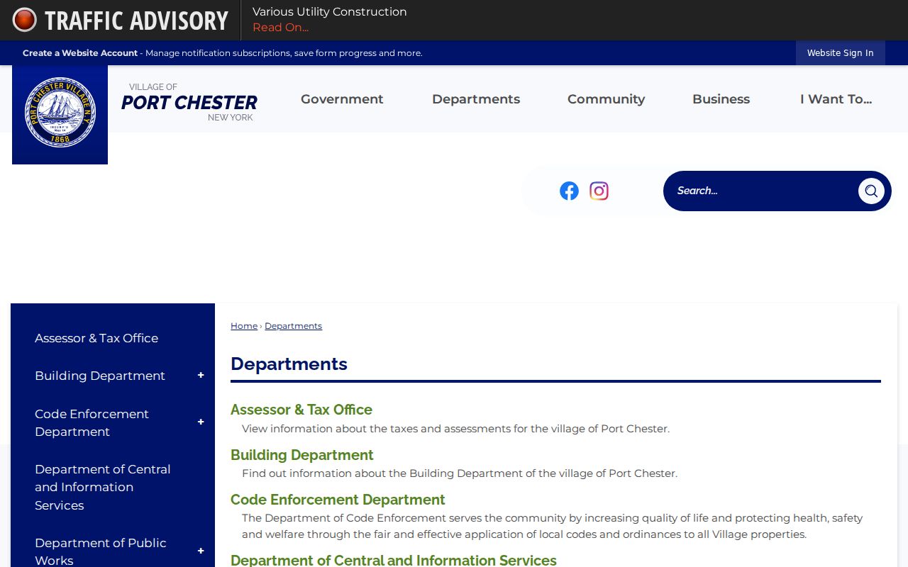
Use the department route to ask for the correct address-keyed record, date range, and custodian instead of treating a general municipal contact list as a list of residents.
The official Accela record-search screen shows the address and parcel paths available for a Port Chester query.
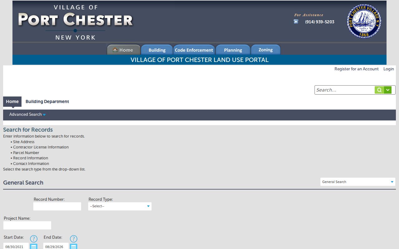
Those search categories help distinguish the property trail from a personal directory, particularly when an address contains several units or a record names an applicant rather than an occupant.
Port Chester Address Record Coverage
Street-keyed records in Port Chester do not have one shared coverage date or one shared meaning. The table keeps the custodian and evidence type visible before results are compared. Start with the current parcel, then move back only when an earlier record is needed.
| Address record | Custodian | What the Port Chester record can show | Access path |
|---|---|---|---|
| Assessment roll | Town of Rye Assessor | Property location, owner, SBL, class, assessment, and mailing field. | Image Mate and dated rolls. |
| Parcel map | Westchester County GIS | Parcel geometry, print key, property address, owner field, and abutter context. | Tax-map viewer or ArcGIS layer. |
| Land instrument | Westchester County Clerk | Recorded transfers, mortgages, assignments, and satisfactions. | WRO search, Clerk image or certified copy, Archives fallback. |
| Building or code file | Port Chester departments | Address, parcel, record date, and project or notice context. | Accela, counter route, or focused FOIL request. |
| Election record | Westchester Board of Elections | Statutorily public registration material subject to protected fields. | Individual lookup, public inspection, or scoped request. |
| Directory or newspaper | Library, Archives, or collection holder | A printed or published name-address snapshot. | Catalog, microfilm, digitized archive, or reference desk. |
The same SBL can bridge the assessor and GIS records. A legal description and recorded instrument can extend the Port Chester trail backward when a street number has changed, a parcel was split, or an old source uses a different place label.
Follow Port Chester Deed Records
Westchester Records Online is the remote route for land, legal, and map searches. Searching is free, while images and reports require registration and payment. The County Clerk remains the authoritative source for an official or certified copy, and the WRO disclaimer says the online database can contain errors or omissions. Record the party role, instrument type, recording date, document or book and page reference, and legal description before requesting the image.
For a Port Chester deed chain, search the current owner as grantee, then search the seller as grantee to find that seller’s earlier purchase. Repeat carefully and reconcile each step against the parcel identifier. A recorded transfer is a chain of title, not a chain of occupants. It may name an estate, representative, trust, or organization rather than a person at the street address.
When the web route does not reach the needed period, the Westchester County Archives research service holds grantor/grantee indexes from 1680 through 1907 and mortgagor indexes from 1680 through 1897. Requests should identify Port Chester, the address or person, record type, and approximate date. The Archives lists an individual record search at $15, custom research at $25 per hour, and copy charges beyond the first ten pages.
Use Port Chester Voter Records Carefully
The New York voter registration search is an individual registration-status tool, not a casual street export. Its visible fields include county, last name, first name, date of birth, ZIP Code, and JavaScript-rendered address information. Use Westchester County, the known name, and the required identifying fields for a specific registration question. It does not provide a browse-all mode for a Port Chester street.
Election Law §5-602 contemplates annual lists arranged by street and number or alphabetically within an election district. A current list or a public inspection request routes through the Westchester Board of Elections and voter-data requests need the statutory elections-purpose statement. Election Law §3-220 protects driver-license, non-driver ID, Social Security, and facsimile fields. Confidential voter registrations must not be treated as a missing-data puzzle.
Note: Confirm the Board of Elections contact before mailing because a County relocation notice conflicts with older Port Chester election-page contact text.
Find Port Chester Street History
For a historic Port Chester street, use the current parcel and old map first, then seek the street in the available directory years. The documented runs include 1900, 1902 through 1909, 1910/11 through 1918, selected 1920 through 1932 editions, 1950, and 1956 through 1959 with stated reel gaps. A reverse or criss-cross section can add names printed at an address. Search combined headings when the edition calls for Port Chester/Rye, East Port Chester, Rye, Byram, Greenwich, or Cos Cob.
Printed volumes are a historical source with their own edition date and publisher, not a live resident list. The local holdings, publishers, and access routes are described in the Port Chester Directory Book. Pair a directory result with a deed, assessment roll, census, newspaper notice, or municipal record before assigning a household to a particular period.
Match Port Chester Address Place Labels
Port Chester historical research needs more than the present street spelling. The Town of Rye boundary history reaches back to 1788, the place name changed from Saw Pit to Port Chester in 1837, the railroad arrived in 1849, and the Village incorporated in 1868. Earlier deeds, newspapers, maps, and directories can therefore use Rye, Saw Pit, Port Chester, East Port Chester, or a combined regional heading.
No verified official Port Chester street-renumbering or renaming schedule was found. Do not supply a guessed conversion year. Instead, triangulate the old directory number and street name against a current SBL, the deed legal description, a Sanborn sheet, and a dated notice. The 1890 Library of Congress Sanborn map has seven Port Chester sheets, and the 1885 set has five; County Archives also describes Sanborn maps and atlases from 1887 through 1939 with gaps. They explain the street and building footprint, not the occupant list.
Set Limits for Port Chester Address Records
A Port Chester address-record result is only as strong as its source and date. Assessment ownership, owner mailing fields, a parcel polygon, a permit application, an election record, and a printed directory are different signals. Utility customer lists and DMV information are not an ordinary public address source. New York’s Address Confidentiality Program and confidential voter registration also protect eligible people, and protected information should not be reconstructed from other records.
Where a record conflicts, preserve the source, access date, parcel key, and uncertainty. Ask the Town assessor, Village department, County Clerk, Archives, or election custodian for the narrow record that can resolve the point.